
Hiking around La Giettaz
La Giettaz sits at the foot of the Aravis, with walks that start straight from the village or from the Col des Aravis, five minutes from the chalet. Here are seven of our favourites, from an easy family stroll to a full day on the ridges.

The Val d’Arly, the valley La Giettaz belongs to, has 350 km of marked trails. Around La Giettaz they climb through larch forest and summer pastures to cols and summits with views of Mont Blanc, the Aravis and the Beaufortain.
Seven walks from La Giettaz
Times are walking times without breaks, from the route descriptions linked below. “Climb” is the total height gained.
| Walk | Start | Distance | Time | Climb | Highest point | Level |
|---|---|---|---|---|---|---|
| Vierge du Châtelard | First hairpin below the Col des Aravis | 1.1 km | 40 min | 135 m | 1,569 m | Easy |
| Croix de Fer | Col des Aravis car park | 4.1 km | 1 h 40 | 165 m | 1,650 m | Easy |
| Blanchet pastures circuit | Village | 12 km | 5 h 20 | 674 m | 1,647 m | Medium |
| Col de Jaillet | Le Plan car park | 9.8 km | 4 h 25 | 549 m | 1,722 m | Medium |
| Tête du Torraz loop | Le Plan car park | 11.6 km | 5 h 25 | 735 m | 1,930 m | Medium |
| Notre-Dame des Alpages | Village square | 10.6 km | 5 h 30 | 848 m | 1,915 m | Difficult |
| Croisse Baulet loop | Le Plan car park | 9.5 km | 5 h 50 | 1,086 m | 2,235 m | Difficult |
Easy walks for families
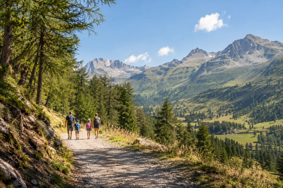
The Vierge du Châtelard is the quickest reward in the area: a 40-minute walk from the first hairpin below the Col des Aravis to a statue looking down over the Arrondine valley, La Giettaz and the Mont Blanc massif. The Croix de Fer loop starts at the Col des Aravis car park and stays gentle, with a Mont Blanc panorama all the way.
Half-day and day walks
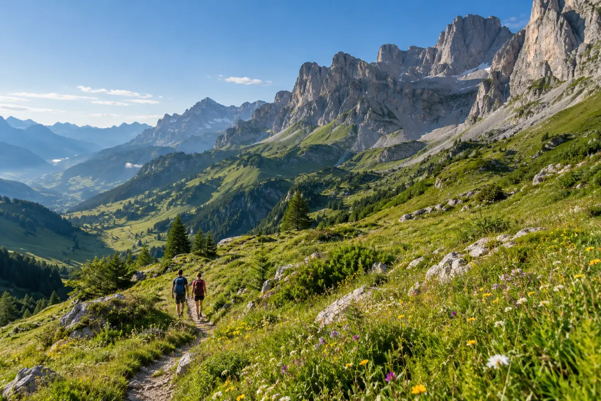
The Blanchet pastures circuit leaves straight from the village on yellow waymarks, with Mont Blanc in view for much of the way and the Plan Rebord chalet-restaurant on the route. The Col de Jaillet walk from Le Plan reaches a col with a view of Mont Blanc and an old Roman boundary marker; it is part of the “Roman boundary markers” ridge path, which links the Col de l’Avenaz, the Petit Croisse Baulet and the Col de Jaillet.
The Tête du Torraz loop climbs to the 1,930 m summit above the village, where an orientation table names the peaks in a 360° view of the Aravis, the Aiguilles Rouges, the Mont Blanc massif and the Beaufortain. Notre-Dame des Alpages is a tougher climb from the village square to a statue built by the local alpine farmers in 1956, passing an alpine chalet that sells its cheese.
For experienced walkers
The Croisse Baulet loop is the big one: more than 1,000 m of climbing from Le Plan to the 2,235 m summit, over the Col de l’Avenaz and the Petit Croisse Baulet. There is no water on the way, so carry plenty.
Let the chairlift do the climbing
In summer the La Giettaz chairlifts to the Tête du Torraz run on some days for walkers and mountain bikers. In 2026 they ran on Wednesdays and Sundays from mid-July to late August, weather permitting. Check this year’s dates and prices with the Val d’Arly tourist office.
Meet the cheesemakers
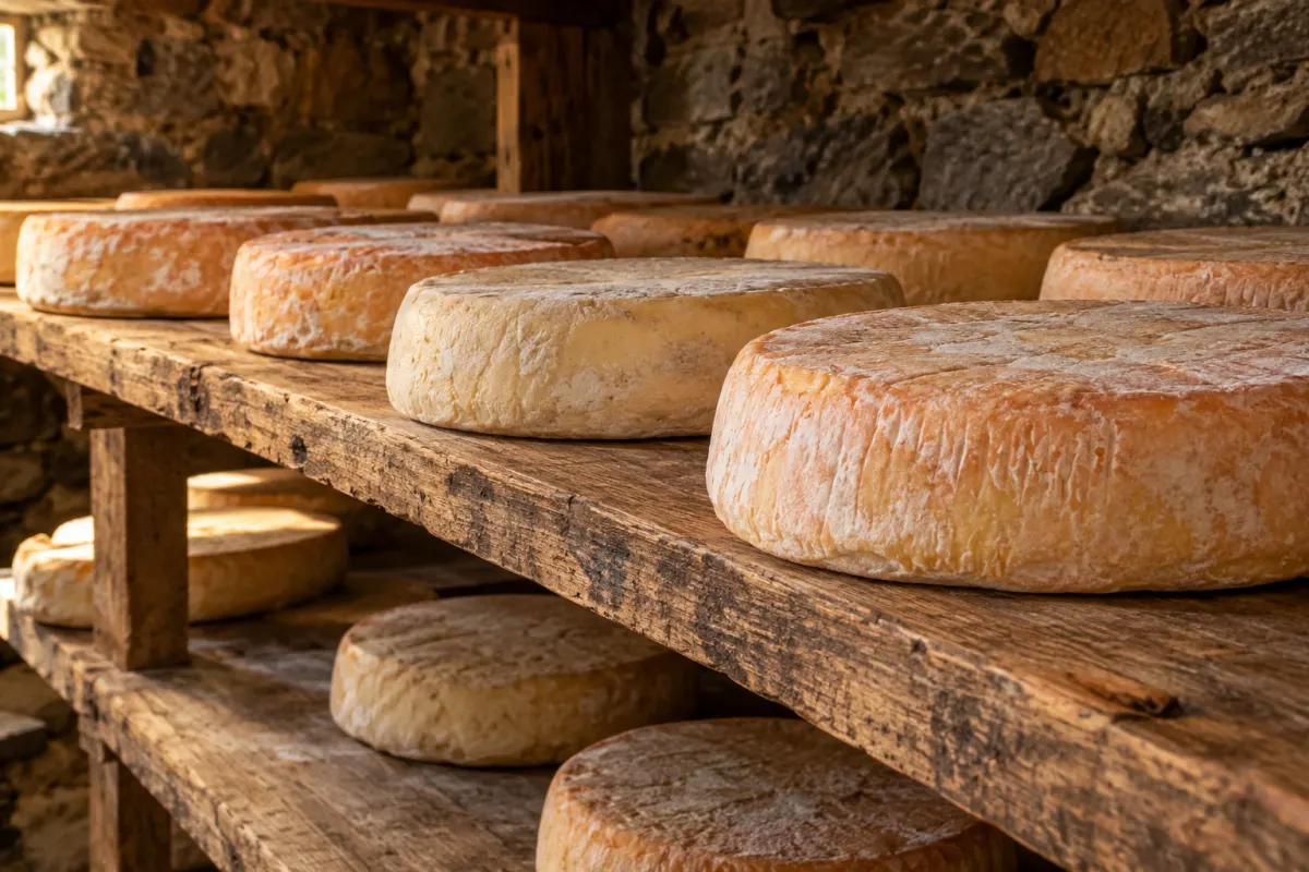
This is Reblochon country. At the Chalet Blanc alpine pasture (1,540 m, GAEC La Tête du Torraz), you can visit the farm facing Mont Blanc for free if you book ahead, and buy Reblochon, Tomme, raclette cheese and Cœur des Aravis. The Chèvrerie des Aravis makes goat’s cheeses, including AOP Chevrotin, at the Les Plachaux pasture.
Good to know
- Check closures before you go. After rockfalls on 17 July 2026, part of the Croix des Frettes and Croix de Fer loop was closed by municipal order until further notice.
- Start early in summer. Summer 2026 was the hottest on record in France, and the long climbs are much more pleasant in the morning. See last season’s weather.
- Pack layers. Even on hot days it is cooler and windier on the summits than in the village.
- Leave the car at the chalet for the walks from the village; the Col des Aravis and Le Plan car parks are a short drive away.