
Best Viewpoints over the Aravis and Mont Blanc
From the chalet you look out over the Aravis, and a few minutes away the views open up to Mont Blanc. Here are the best panoramas nearby, whether you get there by car, by chairlift or on foot.

By car: the Col des Aravis (1,486 m)
Five minutes’ drive from the chalet, the Col des Aravis is the pass between La Giettaz and La Clusaz, with a wide view of Mont Blanc. At the top you will find restaurants, shops, Reblochon farms and the Chapelle Sainte-Anne. The chapel was built in 1650 and rebuilt around 1765 by the parish priest of La Giettaz; it is open every day from 9:00 to 19:00. The road opened in 1902, is part of the Route des Grandes Alpes, and stays open all year except after exceptional snowfalls.
Sources: Haute-Savoie tourism, La Clusaz.
By chairlift or on foot: the Tête du Torraz (1,930 m)
The summit above La Giettaz, and the highest point of the Portes du Mont-Blanc ski area, has a 360° panorama of the Aravis, the Aiguilles Rouges, the Mont Blanc massif and the Beaufortain. An orientation table names the peaks, and a painted panorama by the artist Arthur Novat stands at the top.
- By chairlift: in winter with a ski pass, and in summer on the days the La Giettaz chairlifts run (in 2026, Wednesdays and Sundays from mid-July to late August).
- On foot: an 11.6 km loop from Le Plan with 735 m of climbing, about 5 h 25 of walking. See our hiking guide.
Short walks to big views
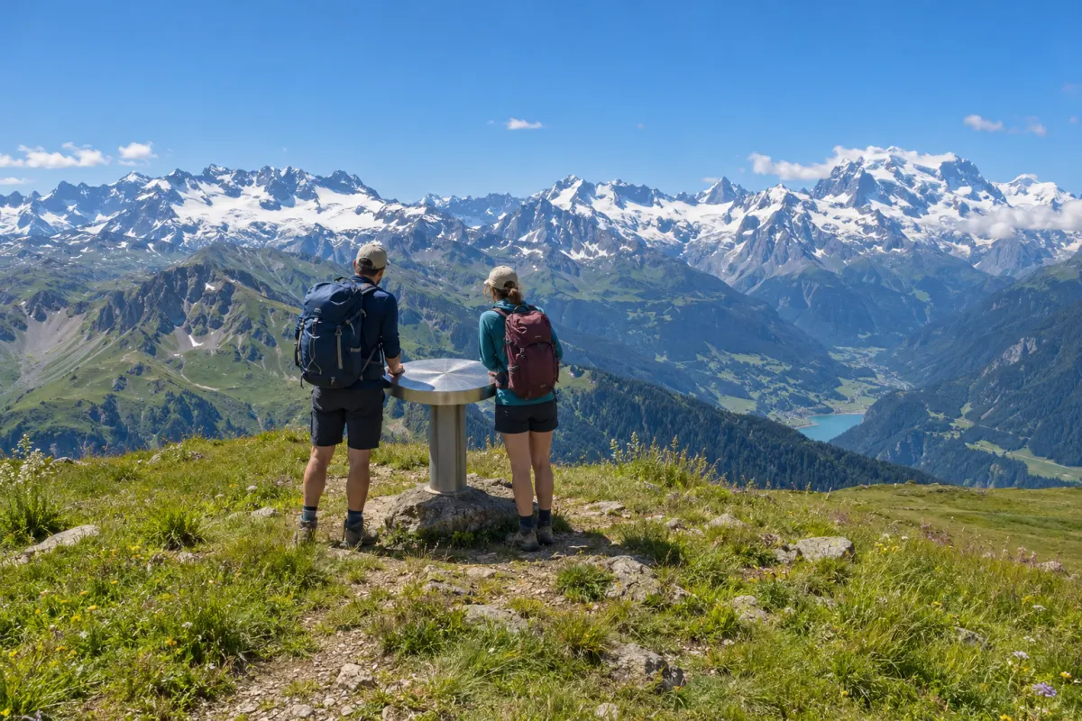
| Viewpoint | Start | Walk | What you see |
|---|---|---|---|
| Vierge du Châtelard (1,569 m) | First hairpin below the Col des Aravis | 1.1 km, about 40 min | The Arrondine valley, La Giettaz and the Mont Blanc massif |
| Croix de Fer (1,650 m) | Col des Aravis car park | 4.1 km loop, about 1 h 40 | A Mont Blanc panorama, on an easy family walk |
| Col de Jaillet (1,722 m) | Le Plan car park | 9.8 km, about 4 h 25 | Mont Blanc, and an old Roman boundary marker at the col |
| Notre-Dame des Alpages (1,915 m) | Village square | 10.6 km, about 5 h 30 | The Mont Blanc range and the Beaufortain, from a statue built by alpine farmers in 1956 |
Route details and maps are in our hiking guide.
Tips for the best views
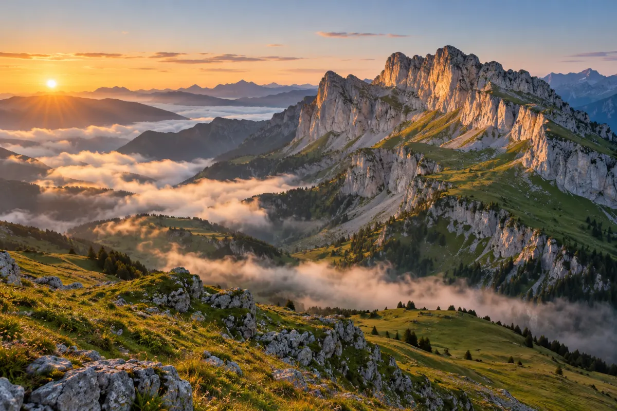
- Go early or late. Mont Blanc is often clearest in the morning, before clouds build up over the peaks on warm afternoons, and the evening light on the Aravis cliffs is beautiful.
- Bring a layer. It is cooler and windier at the cols and summits than in the village.